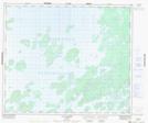
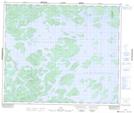
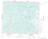
Maps showing La Fin des Dieux, Caniapiscau; Caniapiscau, Quebec
La Fin des Dieux is a Island located in Caniapiscau; Caniapiscau, Quebec.
- Latitude: 54° 17' 16'' North (decimal: 54.2878933)
- Longitude: 69° 57' 26'' West (decimal: -69.9571924)
- Topography Feature Category: Island
- Geographical Feature: Île / Ile
- Canadian Province/Territory: Quebec
- Location: Caniapiscau; Caniapiscau
- Atlas of Canada Locator Map: La Fin des Dieux
- GPS Coordinate Locator Map: La Fin des Dieux Lat/Long
La Fin des Dieux NTS Map Sheets