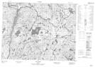
Maps showing Ruisseau de l'Alouette, Mont-Valin; Le Fjord-du-Saguenay, Quebec
Ruisseau de l'Alouette is a River located in Mont-Valin; Le Fjord-du-Saguenay, Quebec.
- Latitude: 50° 10' 10'' North (decimal: 50.1695093)
- Longitude: 70° 33' 26'' West (decimal: -70.5573373)
- Topography Feature Category: River
- Geographical Feature: Segment de rivière
- Canadian Province/Territory: Quebec
- Location: Mont-Valin; Le Fjord-du-Saguenay
- GPS Coordinate Locator Map: Ruisseau de l'Alouette Lat/Long
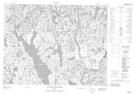
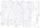
Ruisseau de l'Alouette NTS Map Sheets