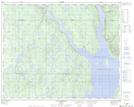
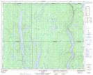
Maps showing Lac Moucha, Rivière-Mouchalagane; Caniapiscau, Quebec
Lac Moucha is a Lake located in Rivière-Mouchalagane; Caniapiscau, Quebec.
- Latitude: 51° 44' 41'' North (decimal: 51.7447698)
- Longitude: 69° 13' 56'' West (decimal: -69.2321999)
- Topography Feature Category: Lake
- Geographical Feature: Lac
- Canadian Province/Territory: Quebec
- Location: Rivière-Mouchalagane; Caniapiscau
- Atlas of Canada Locator Map: Lac Moucha
- GPS Coordinate Locator Map: Lac Moucha Lat/Long
Lac Moucha NTS Map Sheets