Canada Topographic Maps

Ruisseau de la Hauteur Topo Maps

Topography maps and Latitude/Longitude Location

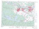
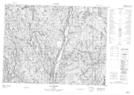
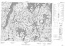
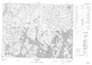
Maps showing Ruisseau de la Hauteur, Mont-Valin; Le Fjord-du-Saguenay, Quebec

Ruisseau de la Hauteur is a River located in Mont-Valin; Le Fjord-du-Saguenay, Quebec.

  • Latitude: 49° 41' 0'' North   (decimal: 49.6833772)
  • Longitude: 70° 47' 48'' West   (decimal: -70.7967411)
  • Topography Feature Category: River
  • Geographical Feature: Segment de rivière
  • Canadian Province/Territory: Quebec
  • Location: Mont-Valin; Le Fjord-du-Saguenay
  • GPS Coordinate Locator Map: Ruisseau de la Hauteur Lat/Long

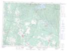
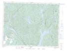
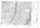
Ruisseau de la Hauteur NTS Map Sheets

022D06 Jonquiere-Chicoutimi Topographic Map at 1:50,000 scale

022D11 Saint-Ambroise Topographic Map at 1:50,000 scale

022D14 Lac Vermont Topographic Map at 1:50,000 scale

022E03 Petit Lac Onatchiway Topographic Map at 1:50,000 scale

022E06 Lac Lemoine Topographic Map at 1:50,000 scale

022E07 Lac Rouvray Topographic Map at 1:50,000 scale

022E10 Lac Meloneze Topographic Map at 1:50,000 scale

022D Chicoutimi Topographic Map at 1:250,000 scale

022E Reservoir Pipmuacan Topographic Map at 1:250,000 scale

 
Buy Topographic Maps DVD
Newsletter Sign-up

Yes, I want to receive map store discounts.


Bookmark and Share