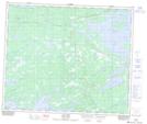
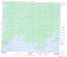
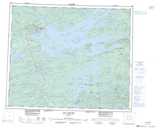
Maps showing Aéroport de La Grande-Rivière, Baie-James; Jamésie, Quebec
Aéroport de La Grande-Rivière is a Air navigation feature located in Baie-James; Jamésie, Quebec.
- Latitude: 53° 37' 31'' North (decimal: 53.6253986)
- Longitude: 77° 42' 14'' West (decimal: -77.7039357)
- Topography Feature Category: Air navigation feature
- Geographical Feature: Aéroport
- Canadian Province/Territory: Quebec
- Location: Baie-James; Jamésie
- Atlas of Canada Locator Map: Aéroport de La Grande-Rivière
- GPS Coordinate Locator Map: Aéroport de La Grande-Rivière Lat/Long
Aéroport de La Grande-Rivière NTS Map Sheets