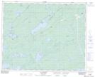
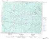
Maps showing Aéroport de Nemiscau, Nemiscau; Jamésie, Quebec
Aéroport de Nemiscau is a Air navigation feature located in Nemiscau; Jamésie, Quebec.
- Latitude: 51° 41' 27'' North (decimal: 51.6909584)
- Longitude: 76° 8' 11'' West (decimal: -76.1364208)
- Topography Feature Category: Air navigation feature
- Geographical Feature: Aéroport
- Canadian Province/Territory: Quebec
- Location: Nemiscau; Jamésie
- Atlas of Canada Locator Map: Aéroport de Nemiscau
- GPS Coordinate Locator Map: Aéroport de Nemiscau Lat/Long
Aéroport de Nemiscau NTS Map Sheets