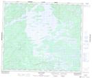
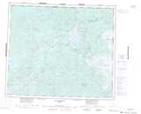
Maps showing Île Raimbaux, Baie-James; Jamésie, Quebec
Île Raimbaux is a Island located in Baie-James; Jamésie, Quebec.
- Latitude: 54° 37' 28'' North (decimal: 54.6245694)
- Longitude: 70° 44' 24'' West (decimal: -70.7400012)
- Topography Feature Category: Island
- Geographical Feature: Île / Ile
- Canadian Province/Territory: Quebec
- Location: Baie-James; Jamésie
- Atlas of Canada Locator Map: Île Raimbaux
- GPS Coordinate Locator Map: Île Raimbaux Lat/Long
Île Raimbaux NTS Map Sheets