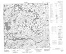
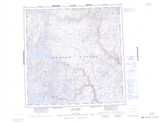
Maps showing Iqalulik, Rivière-Koksoak; Kativik, Quebec
Iqalulik is a River feature located in Rivière-Koksoak; Kativik, Quebec.
- Latitude: 60° 2' 22'' North (decimal: 60.0394443)
- Longitude: 73° 9' 27'' West (decimal: -73.1575)
- Topography Feature Category: River feature
- Geographical Feature: Lieu de pêche
- Canadian Province/Territory: Quebec
- Location: Rivière-Koksoak; Kativik
- Atlas of Canada Locator Map: Iqalulik
- GPS Coordinate Locator Map: Iqalulik Lat/Long
Iqalulik NTS Map Sheets