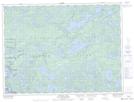
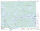
Maps showing Neguaguon Lake Indian Reserve 25D, Rainy River, Ontario
Neguaguon Lake Indian Reserve 25D is a Indian Reserve located in Rainy River, Ontario.
- Latitude: 48° 23' North (decimal: 48.3833000)
- Longitude: 92° 5' West (decimal: -92.0833000)
- Topography Feature Category: Indian Reserve
- Geographical Feature: Indian Reserve
- Canadian Province/Territory: Ontario
- Location: Rainy River
- Atlas of Canada Locator Map: Neguaguon Lake Indian Reserve 25D
- GPS Coordinate Locator Map: Neguaguon Lake Indian Reserve 25D Lat/Long
Neguaguon Lake Indian Reserve 25D NTS Map Sheets