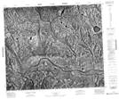
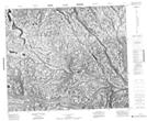
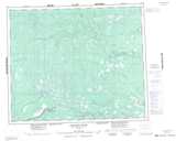
Maps showing Attawapiskat Indian Reserve 91, Kenora, Ontario
Attawapiskat Indian Reserve 91 is a Indian Reserve located in Kenora, Ontario.
- Latitude: 53° 33' North (decimal: 53.5500000)
- Longitude: 84° 21' West (decimal: -84.3500000)
- Topography Feature Category: Indian Reserve
- Geographical Feature: Indian Reserve
- Canadian Province/Territory: Ontario
- Location: Kenora
- Atlas of Canada Locator Map: Attawapiskat Indian Reserve 91
- GPS Coordinate Locator Map: Attawapiskat Indian Reserve 91 Lat/Long
Attawapiskat Indian Reserve 91 NTS Map Sheets