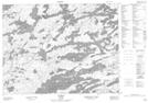
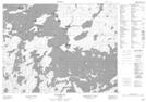
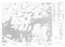
Maps showing Lac Seul Indian Reserve 28, Kenora, Ontario
Lac Seul Indian Reserve 28 is a Indian Reserve located in Kenora, Ontario.
- Latitude: 50° 14' North (decimal: 50.2332999)
- Longitude: 92° 15' West (decimal: -92.2499999)
- Topography Feature Category: Indian Reserve
- Geographical Feature: Indian Reserve
- Canadian Province/Territory: Ontario
- Location: Kenora
- Atlas of Canada Locator Map: Lac Seul Indian Reserve 28
- GPS Coordinate Locator Map: Lac Seul Indian Reserve 28 Lat/Long
Lac Seul Indian Reserve 28 NTS Map Sheets