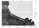
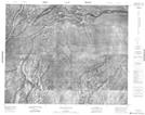
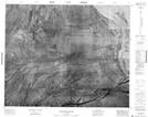
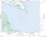
Maps showing Albany Island, Cochrane, Ontario
Albany Island is a Island located in Cochrane, Ontario.
- Latitude: 52° 15' 25'' North (decimal: 52.2569444)
- Longitude: 81° 34' 35'' West (decimal: -81.5763888)
- Topography Feature Category: Island
- Geographical Feature: Island
- Canadian Province/Territory: Ontario
- Location: Cochrane
- Atlas of Canada Locator Map: Albany Island
- GPS Coordinate Locator Map: Albany Island Lat/Long
Albany Island NTS Map Sheets