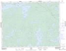
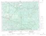
Maps showing Amik River, Kenora, Ontario
Amik River is a River located in Kenora, Ontario and has an elevation of 412 meters.
- Latitude: 49° 52' 43'' North (decimal: 49.8786111)
- Longitude: 91° 44' 36'' West (decimal: -91.7433333)
- Topography Feature Category: River
- Geographical Feature: River
- Canadian Province/Territory: Ontario
- Elevation: 412 meters
- Location: Kenora
- Atlas of Canada Locator Map: Amik River
- GPS Coordinate Locator Map: Amik River Lat/Long