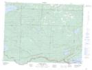
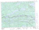
Maps showing Arrow River, Thunder Bay, Ontario
Arrow River is a River located in Thunder Bay, Ontario and has an elevation of 293 meters.
- Latitude: 48° 1' 17'' North (decimal: 48.0213888)
- Longitude: 89° 43' 28'' West (decimal: -89.7244444)
- Topography Feature Category: River
- Geographical Feature: River
- Canadian Province/Territory: Ontario
- Elevation: 293 meters
- Location: Thunder Bay
- Atlas of Canada Locator Map: Arrow River
- GPS Coordinate Locator Map: Arrow River Lat/Long
Arrow River NTS Map Sheets