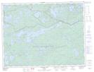
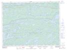
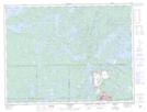
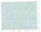
Maps showing Atikokan, Rainy River, Ontario
Atikokan is a Other municipal/district area - miscellaneous located in Rainy River, Ontario.
- Latitude: 48° 45' 32'' North (decimal: 48.7588888)
- Longitude: 91° 37' 18'' West (decimal: -91.6216666)
- Topography Feature Category: Other municipal/district area - miscellaneous
- Geographical Feature: Township Municipality
- Canadian Province/Territory: Ontario
- Location: Rainy River
- Atlas of Canada Locator Map: Atikokan
- GPS Coordinate Locator Map: Atikokan Lat/Long
Atikokan NTS Map Sheets