Canada Topographic Maps

Attawapiskat Lake Topo Maps

Topography maps and Latitude/Longitude Location

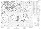
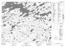
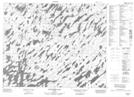
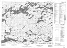
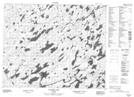
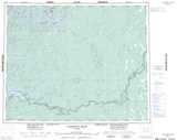
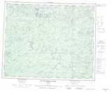
Maps showing Attawapiskat Lake, Kenora, Ontario

Attawapiskat Lake is a Lake located in Kenora, Ontario and has an elevation of 256 meters.

  • Latitude: 52° 14' 37'' North   (decimal: 52.2436111)
  • Longitude: 87° 53' 51'' West   (decimal: -87.8975000)
  • Topography Feature Category: Lake
  • Geographical Feature: Lake
  • Canadian Province/Territory: Ontario
  • Elevation: 256 meters
  • Location: Kenora
  • Atlas of Canada Locator Map: Attawapiskat Lake
  • GPS Coordinate Locator Map: Attawapiskat Lake Lat/Long

Attawapiskat Lake NTS Map Sheets

043D03 Beteau Lake Topographic Map at 1:50,000 scale

043D04 Richter Lake Topographic Map at 1:50,000 scale

043D05 Wapitotem Lake Topographic Map at 1:50,000 scale

053A01 Kabania Lake Topographic Map at 1:50,000 scale

053A08 Nankika Lake Topographic Map at 1:50,000 scale

043D Lansdowne House Topographic Map at 1:250,000 scale

053A Wunnummin Lake Topographic Map at 1:250,000 scale

 
Buy Topographic Maps DVD
Newsletter Sign-up

Yes, I want to receive map store discounts.


Bookmark and Share