Maps showing Attawapiskat River, Kenora, Ontario
Attawapiskat River is a River located in Kenora, Ontario.
- Latitude: 52° 57' 12'' North (decimal: 52.9533333)
- Longitude: 82° 17' 43'' West (decimal: -82.2952777)
- Topography Feature Category: River
- Geographical Feature: River
- Canadian Province/Territory: Ontario
- Location: Kenora
- Atlas of Canada Locator Map: Attawapiskat River
- GPS Coordinate Locator Map: Attawapiskat River Lat/Long
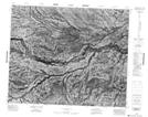
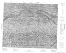
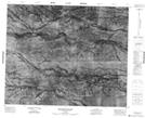
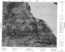
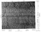
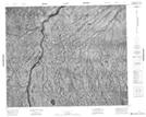
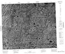
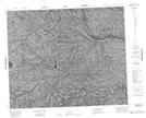
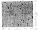
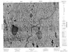
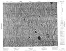
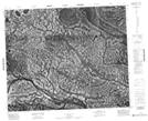
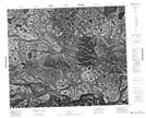
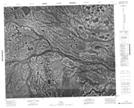
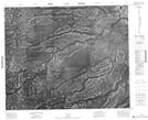
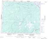
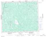
Attawapiskat River NTS Map Sheets
043B13 No Title Topographic Map at 1:50,000 scale
043B14 No Title Topographic Map at 1:50,000 scale
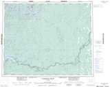
043B15 Monument Channel Topographic Map at 1:50,000 scale
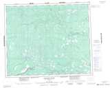
043B16 Attawapiskat Topographic Map at 1:50,000 scale
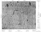
043C12 No Title Topographic Map at 1:50,000 scale
043C13 No Title Topographic Map at 1:50,000 scale
043C15 No Title Topographic Map at 1:50,000 scale
043C16 No Title Topographic Map at 1:50,000 scale
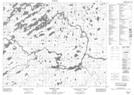
043D01 Pym Island Topographic Map at 1:50,000 scale
043D02 Shibley Lake Topographic Map at 1:50,000 scale
043D03 Beteau Lake Topographic Map at 1:50,000 scale
043D04 Richter Lake Topographic Map at 1:50,000 scale
043D08 Highbank Lake Topographic Map at 1:50,000 scale
043D09 Symons Lake Topographic Map at 1:50,000 scale
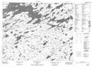
043F01 No Title Topographic Map at 1:50,000 scale
043F02 No Title Topographic Map at 1:50,000 scale
043F03 No Title Topographic Map at 1:50,000 scale
043F04 No Title Topographic Map at 1:50,000 scale
043B Kapiskau River Topographic Map at 1:250,000 scale
043C Missisa Lake Topographic Map at 1:250,000 scale
043D Lansdowne House Topographic Map at 1:250,000 scale
043F Matateto River Topographic Map at 1:250,000 scale