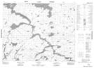
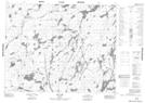
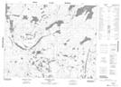
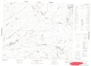
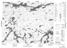
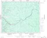
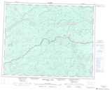
Maps showing Attwood River, Thunder Bay, Ontario
Attwood River is a River located in Thunder Bay, Ontario and has an elevation of 284 meters.
- Latitude: 51° 23' 4'' North (decimal: 51.3844444)
- Longitude: 87° 56' 20'' West (decimal: -87.9388888)
- Topography Feature Category: River
- Geographical Feature: River
- Canadian Province/Territory: Ontario
- Elevation: 284 meters
- Location: Thunder Bay
- Atlas of Canada Locator Map: Attwood River
- GPS Coordinate Locator Map: Attwood River Lat/Long
Attwood River NTS Map Sheets
042M05 Gowie Bay Topographic Map at 1:50,000 scale
052P01 Sim Lake Topographic Map at 1:50,000 scale
052P02 Kilbarry Lake Topographic Map at 1:50,000 scale
052P03 Greenmantle Lake Topographic Map at 1:50,000 scale
052P08 Kawitos Lake Topographic Map at 1:50,000 scale
042M Fort Hope Topographic Map at 1:250,000 scale
052P Miminiska Lake Topographic Map at 1:250,000 scale