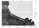
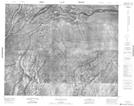
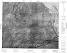
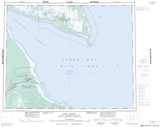
Maps showing Ball Island, Cochrane, Ontario
Ball Island is a Island located in Cochrane, Ontario.
- Latitude: 52° 14' 31'' North (decimal: 52.2419444)
- Longitude: 81° 30' 23'' West (decimal: -81.5063888)
- Topography Feature Category: Island
- Geographical Feature: Island
- Canadian Province/Territory: Ontario
- Location: Cochrane
- Atlas of Canada Locator Map: Ball Island
- GPS Coordinate Locator Map: Ball Island Lat/Long
Ball Island NTS Map Sheets