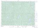
Maps showing Bannerman Creek, Sudbury, Ontario
Bannerman Creek is a River located in Sudbury, Ontario and has an elevation of 341 meters.
- Latitude: 46° 43' 37'' North (decimal: 46.7269444)
- Longitude: 81° 41' 36'' West (decimal: -81.6933333)
- Topography Feature Category: River
- Geographical Feature: Creek
- Canadian Province/Territory: Ontario
- Elevation: 341 meters
- Location: Sudbury
- Atlas of Canada Locator Map: Bannerman Creek
- GPS Coordinate Locator Map: Bannerman Creek Lat/Long
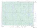
Bannerman Creek NTS Map Sheets