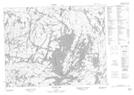
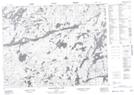
Maps showing Barnard Creek, Thunder Bay, Ontario
Barnard Creek is a River located in Thunder Bay, Ontario and has an elevation of 449 meters.
- Latitude: 50° 6' 10'' North (decimal: 50.1027777)
- Longitude: 90° 50' 57'' West (decimal: -90.8491666)
- Topography Feature Category: River
- Geographical Feature: Creek
- Canadian Province/Territory: Ontario
- Elevation: 449 meters
- Location: Thunder Bay
- Atlas of Canada Locator Map: Barnard Creek
- GPS Coordinate Locator Map: Barnard Creek Lat/Long
Barnard Creek NTS Map Sheets