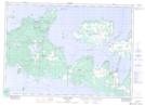
Maps showing Barrie Island, Manitoulin, Ontario
Barrie Island is a Unincorporated area located in Manitoulin, Ontario.
- Latitude: 45° 56' North (decimal: 45.9333000)
- Longitude: 82° 37' West (decimal: -82.6167000)
- Topography Feature Category: Unincorporated area
- Geographical Feature: Locality
- Canadian Province/Territory: Ontario
- Location: Manitoulin
- GPS Coordinate Locator Map: Barrie Island Lat/Long
Barrie Island NTS Map Sheets