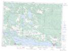
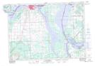
Maps showing Bar River, Algoma, Ontario
Bar River is a River located in Algoma, Ontario and has an elevation of 209 meters.
- Latitude: 46° 25' 29'' North (decimal: 46.4247222)
- Longitude: 84° 6' 4'' West (decimal: -84.1011111)
- Topography Feature Category: River
- Geographical Feature: River
- Canadian Province/Territory: Ontario
- Elevation: 209 meters
- Location: Algoma
- Atlas of Canada Locator Map: Bar River
- GPS Coordinate Locator Map: Bar River Lat/Long
Bar River NTS Map Sheets