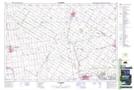
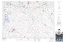
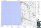
Maps showing Bayfield River, Huron, Ontario
Bayfield River is a River located in Huron, Ontario and has an elevation of 326 meters.
- Latitude: 43° 34' 11'' North (decimal: 43.5697222)
- Longitude: 81° 42' 35'' West (decimal: -81.7097222)
- Topography Feature Category: River
- Geographical Feature: River
- Canadian Province/Territory: Ontario
- Elevation: 326 meters
- Location: Huron
- Atlas of Canada Locator Map: Bayfield River
- GPS Coordinate Locator Map: Bayfield River Lat/Long
Bayfield River NTS Map Sheets