Canada Topographic Maps

Big Trout Lake Topo Maps

Topography maps and Latitude/Longitude Location

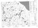
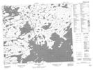
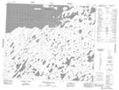
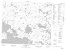
Maps showing Big Trout Lake, Kenora, Ontario

Big Trout Lake is a Lake located in Kenora, Ontario and has an elevation of 213 meters.

  • Latitude: 53° 44' 43'' North   (decimal: 53.7452777)
  • Longitude: 89° 59' 58'' West   (decimal: -89.9994444)
  • Topography Feature Category: Lake
  • Geographical Feature: Lake
  • Canadian Province/Territory: Ontario
  • Elevation: 213 meters
  • Location: Kenora
  • Atlas of Canada Locator Map: Big Trout Lake
  • GPS Coordinate Locator Map: Big Trout Lake Lat/Long

Big Trout Lake NTS Map Sheets

053G09 Bug Lake Topographic Map at 1:50,000 scale

053G16 Misikeyask Lake Topographic Map at 1:50,000 scale

053H12 Nemeigusabins Lake Topographic Map at 1:50,000 scale

053H13 Sandybank Lake Topographic Map at 1:50,000 scale

053G Makoop Lake Topographic Map at 1:250,000 scale

053H Asheweig River Topographic Map at 1:250,000 scale

 
Buy Topographic Maps DVD
Newsletter Sign-up

Yes, I want to receive map store discounts.


Bookmark and Share