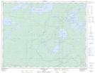
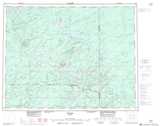
Maps showing Birch Island, Thunder Bay, Ontario
Birch Island is a Island located in Thunder Bay, Ontario and has an elevation of 318 meters.
- Latitude: 50° 25' 11'' North (decimal: 50.4197222)
- Longitude: 87° 27' 12'' West (decimal: -87.4533333)
- Topography Feature Category: Island
- Geographical Feature: Island
- Canadian Province/Territory: Ontario
- Elevation: 318 meters
- Location: Thunder Bay
- Atlas of Canada Locator Map: Birch Island
- GPS Coordinate Locator Map: Birch Island Lat/Long
Birch Island NTS Map Sheets