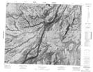
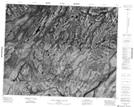
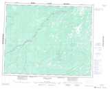
Maps showing Blackbear Island, Cochrane, Ontario
Blackbear Island is a Island located in Cochrane, Ontario.
- Latitude: 51° 43' 25'' North (decimal: 51.7236111)
- Longitude: 83° 8' 13'' West (decimal: -83.1369444)
- Topography Feature Category: Island
- Geographical Feature: Island
- Canadian Province/Territory: Ontario
- Location: Cochrane
- Atlas of Canada Locator Map: Blackbear Island
- GPS Coordinate Locator Map: Blackbear Island Lat/Long
Blackbear Island NTS Map Sheets