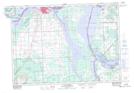
Maps showing Brandon Harbour, Algoma, Ontario
Brandon Harbour is a Bay located in Algoma, Ontario.
- Latitude: 46° 17' 41'' North (decimal: 46.2946999)
- Longitude: 84° 1' 58'' West (decimal: -84.0327999)
- Topography Feature Category: Bay
- Geographical Feature: Harbour
- Canadian Province/Territory: Ontario
- Location: Algoma
- GPS Coordinate Locator Map: Brandon Harbour Lat/Long
Brandon Harbour NTS Map Sheets