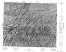
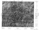
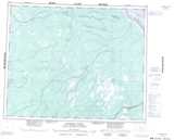
Maps showing Brouard Creek, Kenora, Ontario
Brouard Creek is a River located in Kenora, Ontario.
- Latitude: 52° 28' 37'' North (decimal: 52.4769444)
- Longitude: 82° 29' 14'' West (decimal: -82.4872222)
- Topography Feature Category: River
- Geographical Feature: Creek
- Canadian Province/Territory: Ontario
- Location: Kenora
- Atlas of Canada Locator Map: Brouard Creek
- GPS Coordinate Locator Map: Brouard Creek Lat/Long
Brouard Creek NTS Map Sheets