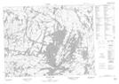
Maps showing Burnt Island, Thunder Bay, Ontario
Burnt Island is a Island located in Thunder Bay, Ontario.
- Latitude: 50° 4' 23'' North (decimal: 50.0730555)
- Longitude: 90° 45' 22'' West (decimal: -90.7561111)
- Topography Feature Category: Island
- Geographical Feature: Island
- Canadian Province/Territory: Ontario
- Location: Thunder Bay
- Atlas of Canada Locator Map: Burnt Island
- GPS Coordinate Locator Map: Burnt Island Lat/Long
Burnt Island NTS Map Sheets