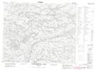
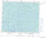
Maps showing Cache Island, Kenora, Ontario
Cache Island is a Island located in Kenora, Ontario.
- Latitude: 52° 37' 6'' North (decimal: 52.6183333)
- Longitude: 94° 35' 30'' West (decimal: -94.5916666)
- Topography Feature Category: Island
- Geographical Feature: Island
- Canadian Province/Territory: Ontario
- Location: Kenora
- Atlas of Canada Locator Map: Cache Island
- GPS Coordinate Locator Map: Cache Island Lat/Long
Cache Island NTS Map Sheets