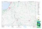
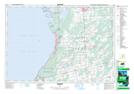
Maps showing Chantry Shoal, Bruce, Ontario
Chantry Shoal is a Shoal located in Bruce, Ontario.
- Latitude: 44° 29' 58'' North (decimal: 44.4994444)
- Longitude: 81° 24' 18'' West (decimal: -81.4049999)
- Topography Feature Category: Shoal
- Geographical Feature: Shoal
- Canadian Province/Territory: Ontario
- Location: Bruce
- Atlas of Canada Locator Map: Chantry Shoal
- GPS Coordinate Locator Map: Chantry Shoal Lat/Long
Chantry Shoal NTS Map Sheets