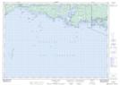
Maps showing Chicken Island, Manitoulin, Ontario
Chicken Island is a Island located in Manitoulin, Ontario and has an elevation of 184 meters.
- Latitude: 46° 0' 1'' North (decimal: 46.0002777)
- Longitude: 81° 12' 43'' West (decimal: -81.2119444)
- Topography Feature Category: Island
- Geographical Feature: Island
- Canadian Province/Territory: Ontario
- Elevation: 184 meters
- Location: Manitoulin
- Atlas of Canada Locator Map: Chicken Island
- GPS Coordinate Locator Map: Chicken Island Lat/Long
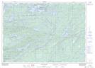
Chicken Island NTS Map Sheets