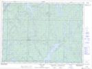
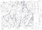
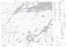
Maps showing Claim Lake, Sudbury, Ontario
Claim Lake is a Lake located in Sudbury, Ontario and has an elevation of 395 meters.
- Latitude: 47° 47' 24'' North (decimal: 47.7899999)
- Longitude: 82° 21' 18'' West (decimal: -82.3549999)
- Topography Feature Category: Lake
- Geographical Feature: Lake
- Canadian Province/Territory: Ontario
- Elevation: 395 meters
- Location: Sudbury
- Atlas of Canada Locator Map: Claim Lake
- GPS Coordinate Locator Map: Claim Lake Lat/Long
Claim Lake NTS Map Sheets