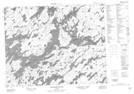
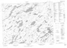
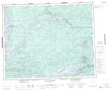
Maps showing Coucheemoskog River, Kenora, Ontario
Coucheemoskog River is a River located in Kenora, Ontario and has an elevation of 380 meters.
- Latitude: 51° 14' 17'' North (decimal: 51.2380999)
- Longitude: 90° 7' 57'' West (decimal: -90.1325000)
- Topography Feature Category: River
- Geographical Feature: River
- Canadian Province/Territory: Ontario
- Elevation: 380 meters
- Location: Kenora
- Atlas of Canada Locator Map: Coucheemoskog River
- GPS Coordinate Locator Map: Coucheemoskog River Lat/Long
Coucheemoskog River NTS Map Sheets