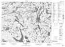
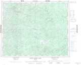
Maps showing Culverson Lake, Kenora, Ontario
Culverson Lake is a Lake located in Kenora, Ontario and has an elevation of 351 meters.
- Latitude: 52° 20' 25'' North (decimal: 52.3402777)
- Longitude: 93° 38' 33'' West (decimal: -93.6425000)
- Topography Feature Category: Lake
- Geographical Feature: Lake
- Canadian Province/Territory: Ontario
- Elevation: 351 meters
- Location: Kenora
- Atlas of Canada Locator Map: Culverson Lake
- GPS Coordinate Locator Map: Culverson Lake Lat/Long
Culverson Lake NTS Map Sheets