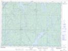
Maps showing Dale, Sudbury, Ontario
Dale is a Geographical area located in Sudbury, Ontario.
- Latitude: 47° 53' 14'' North (decimal: 47.8872222)
- Longitude: 82° 16' 36'' West (decimal: -82.2766666)
- Topography Feature Category: Geographical area
- Geographical Feature: Geographic Township
- Canadian Province/Territory: Ontario
- Location: Sudbury
- Atlas of Canada Locator Map: Dale
- GPS Coordinate Locator Map: Dale Lat/Long