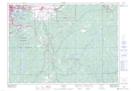
Maps showing Dill, Sudbury, Ontario
Dill is a Unincorporated area located in Sudbury, Ontario.
- Latitude: 46° 26' North (decimal: 46.4333000)
- Longitude: 80° 50' West (decimal: -80.8333000)
- Topography Feature Category: Unincorporated area
- Geographical Feature: Settlement
- Canadian Province/Territory: Ontario
- Location: Sudbury
- GPS Coordinate Locator Map: Dill Lat/Long