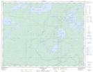
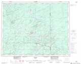
Maps showing Blob Creek, Thunder Bay, Ontario
Blob Creek is a River located in Thunder Bay, Ontario and has an elevation of 313 meters.
- Latitude: 50° 23' 45'' North (decimal: 50.3958333)
- Longitude: 87° 14' 55'' West (decimal: -87.2486111)
- Topography Feature Category: River
- Geographical Feature: Creek
- Canadian Province/Territory: Ontario
- Elevation: 313 meters
- Location: Thunder Bay
- Atlas of Canada Locator Map: Blob Creek
- GPS Coordinate Locator Map: Blob Creek Lat/Long
Blob Creek NTS Map Sheets