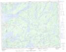
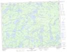
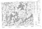
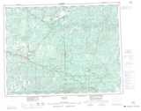
Maps showing Seseganaga Lake, Thunder Bay, Ontario
Seseganaga Lake is a Lake located in Thunder Bay, Ontario and has an elevation of 429 meters.
- Latitude: 50° 4' 28'' North (decimal: 50.0744444)
- Longitude: 90° 21' 32'' West (decimal: -90.3588888)
- Topography Feature Category: Lake
- Geographical Feature: Lake
- Canadian Province/Territory: Ontario
- Elevation: 429 meters
- Location: Thunder Bay
- Atlas of Canada Locator Map: Seseganaga Lake
- GPS Coordinate Locator Map: Seseganaga Lake Lat/Long
Seseganaga Lake NTS Map Sheets