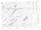
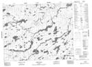
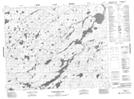
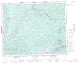
Maps showing Otoskwin Lake, Kenora, Ontario
Otoskwin Lake is a Lake located in Kenora, Ontario and has an elevation of 351 meters.
- Latitude: 51° 44' 37'' North (decimal: 51.7436000)
- Longitude: 90° 30' 14'' West (decimal: -90.5038999)
- Topography Feature Category: Lake
- Geographical Feature: Lake
- Canadian Province/Territory: Ontario
- Elevation: 351 meters
- Location: Kenora
- Atlas of Canada Locator Map: Otoskwin Lake
- GPS Coordinate Locator Map: Otoskwin Lake Lat/Long
Otoskwin Lake NTS Map Sheets