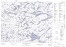
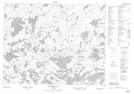
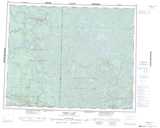
Maps showing Douglas Creek, Kenora, Ontario
Douglas Creek is a River located in Kenora, Ontario.
- Latitude: 51° 2' 11'' North (decimal: 51.0363888)
- Longitude: 94° 15' 45'' West (decimal: -94.2625000)
- Topography Feature Category: River
- Geographical Feature: Creek
- Canadian Province/Territory: Ontario
- Location: Kenora
- Atlas of Canada Locator Map: Douglas Creek
- GPS Coordinate Locator Map: Douglas Creek Lat/Long
Douglas Creek NTS Map Sheets