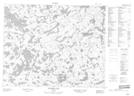
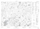
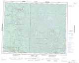
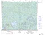
Maps showing Dowling Lake, Kenora, Ontario
Dowling Lake is a Lake located in Kenora, Ontario and has an elevation of 342 meters.
- Latitude: 51° 40' 37'' North (decimal: 51.6769444)
- Longitude: 94° 1' 33'' West (decimal: -94.0258333)
- Topography Feature Category: Lake
- Geographical Feature: Lake
- Canadian Province/Territory: Ontario
- Elevation: 342 meters
- Location: Kenora
- Atlas of Canada Locator Map: Dowling Lake
- GPS Coordinate Locator Map: Dowling Lake Lat/Long
Dowling Lake NTS Map Sheets