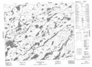
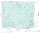
Maps showing Duffell Creek, Kenora, Ontario
Duffell Creek is a River located in Kenora, Ontario.
- Latitude: 51° 16' 56'' North (decimal: 51.2822222)
- Longitude: 90° 47' 34'' West (decimal: -90.7927777)
- Topography Feature Category: River
- Geographical Feature: Creek
- Canadian Province/Territory: Ontario
- Location: Kenora
- Atlas of Canada Locator Map: Duffell Creek
- GPS Coordinate Locator Map: Duffell Creek Lat/Long
Duffell Creek NTS Map Sheets