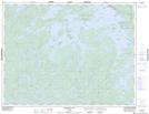
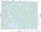
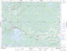
Maps showing Eagle River, Kenora, Ontario
Eagle River is a River located in Kenora, Ontario and has an elevation of 381 meters.
- Latitude: 49° 50' 25'' North (decimal: 49.8402777)
- Longitude: 93° 11' 56'' West (decimal: -93.1988888)
- Topography Feature Category: River
- Geographical Feature: River
- Canadian Province/Territory: Ontario
- Elevation: 381 meters
- Location: Kenora
- Atlas of Canada Locator Map: Eagle River
- GPS Coordinate Locator Map: Eagle River Lat/Long
Eagle River NTS Map Sheets