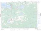
Maps showing East Morrison Island, Parry Sound, Ontario
East Morrison Island is a Island located in Parry Sound, Ontario.
- Latitude: 46° 13' 10'' North (decimal: 46.2194444)
- Longitude: 79° 22' 6'' West (decimal: -79.3683333)
- Topography Feature Category: Island
- Geographical Feature: Island
- Canadian Province/Territory: Ontario
- Location: Parry Sound
- Atlas of Canada Locator Map: East Morrison Island
- GPS Coordinate Locator Map: East Morrison Island Lat/Long