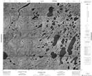
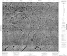
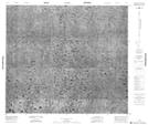
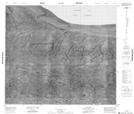
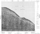
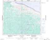
Maps showing ShellBrook, Kenora, Ontario
ShellBrook is a River located in Kenora, Ontario.
- Latitude: 55° 54' 53'' North (decimal: 55.9147222)
- Longitude: 86° 58' 00'' West (decimal: -86.9666666)
- Topography Feature Category: River
- Geographical Feature: Brook
- Canadian Province/Territory: Ontario
- Location: Kenora
- Atlas of Canada Locator Map: ShellBrook
- GPS Coordinate Locator Map: ShellBrook Lat/Long
ShellBrook NTS Map Sheets
043M03 Shagamu Lake Topographic Map at 1:50,000 scale
043M06 No Title Topographic Map at 1:50,000 scale
043M11 No Title Topographic Map at 1:50,000 scale
043M14 No Title Topographic Map at 1:50,000 scale
043M15 No Title Topographic Map at 1:50,000 scale
043M Fort Severn Topographic Map at 1:250,000 scale
043M06 No Title Topographic Map at 1:50,000 scale
043M11 No Title Topographic Map at 1:50,000 scale
043M14 No Title Topographic Map at 1:50,000 scale
043M15 No Title Topographic Map at 1:50,000 scale
043M Fort Severn Topographic Map at 1:250,000 scale