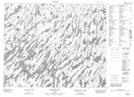
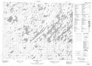
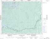
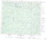
Maps showing Fishbasket Lake, Kenora, Ontario
Fishbasket Lake is a Lake located in Kenora, Ontario and has an elevation of 250 meters.
- Latitude: 52° 36' 38'' North (decimal: 52.6105555)
- Longitude: 87° 57' 13'' West (decimal: -87.9536111)
- Topography Feature Category: Lake
- Geographical Feature: Lake
- Canadian Province/Territory: Ontario
- Elevation: 250 meters
- Location: Kenora
- Atlas of Canada Locator Map: Fishbasket Lake
- GPS Coordinate Locator Map: Fishbasket Lake Lat/Long
Fishbasket Lake NTS Map Sheets