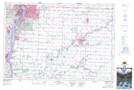
Maps showing Fox Creek, Lambton, Ontario
Fox Creek is a River located in Lambton, Ontario and has an elevation of 195 meters.
- Latitude: 42° 47' 33'' North (decimal: 42.7925000)
- Longitude: 82° 9' 23'' West (decimal: -82.1563888)
- Topography Feature Category: River
- Geographical Feature: Creek
- Canadian Province/Territory: Ontario
- Elevation: 195 meters
- Location: Lambton
- Atlas of Canada Locator Map: Fox Creek
- GPS Coordinate Locator Map: Fox Creek Lat/Long