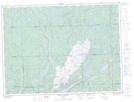
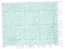
Maps showing Grand Portage, Algoma, Ontario
Grand Portage is a Road feature located in Algoma, Ontario.
- Latitude: 48° 15' 00'' North (decimal: 48.2499999)
- Longitude: 84° 52' 53'' West (decimal: -84.8813888)
- Topography Feature Category: Road feature
- Geographical Feature: Portage
- Canadian Province/Territory: Ontario
- Location: Algoma
- Atlas of Canada Locator Map: Grand Portage
- GPS Coordinate Locator Map: Grand Portage Lat/Long
Grand Portage NTS Map Sheets